About Us
Historical Background
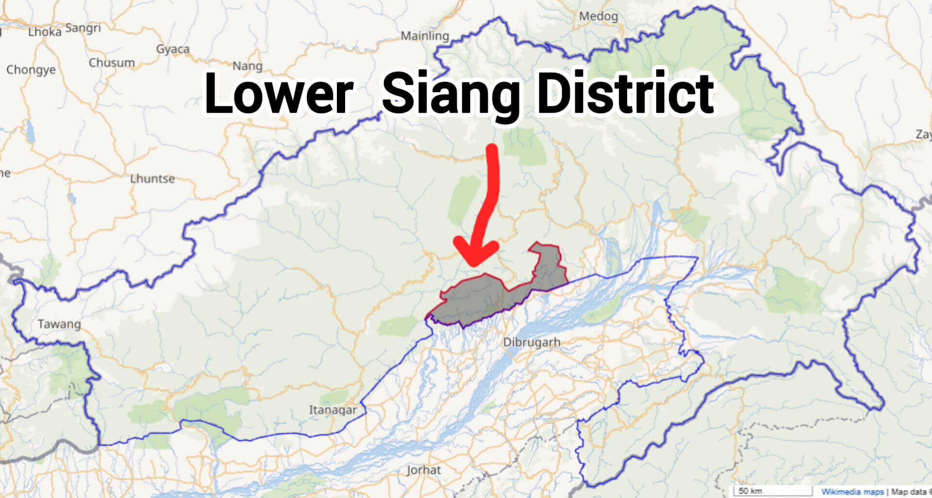
Lower Siang District, situated in the southwestern part of Arunachal Pradesh, became officially operational on 22nd September 2017, emerging as the 22nd district of the state. The creation of Lower Siang involved merging territories formerly part of West Siang and East Siang districts, with its administrative headquarters established at Likabali. The district's formation marked an essential step towards administrative convenience and regional development, facilitating better governance and closer public service delivery to its residents.
Location and Boundaries
Lower Siang district is geographically positioned roughly between the latitudes of 27.5575°N and the longitudes of 94.2110°E. It shares its southern boundary with Dhemaji district of Assam, while the northern and western sides border West Siang district. To the east, the district is bordered by East Siang and Upper Siang districts. Its strategic location bridges Arunachal Pradesh and Assam, fostering cultural and economic interactions.
Topography
The terrain of Lower Siang district is diverse and characterized by hills, deep river valleys, lush forests, and fertile plains. Elevation varies significantly from about 92 meters to 3,358 meters above sea level. This varied landscape supports rich biodiversity, agriculture, and picturesque natural beauty, offering immense potential for ecotourism and horticultural activities.
People
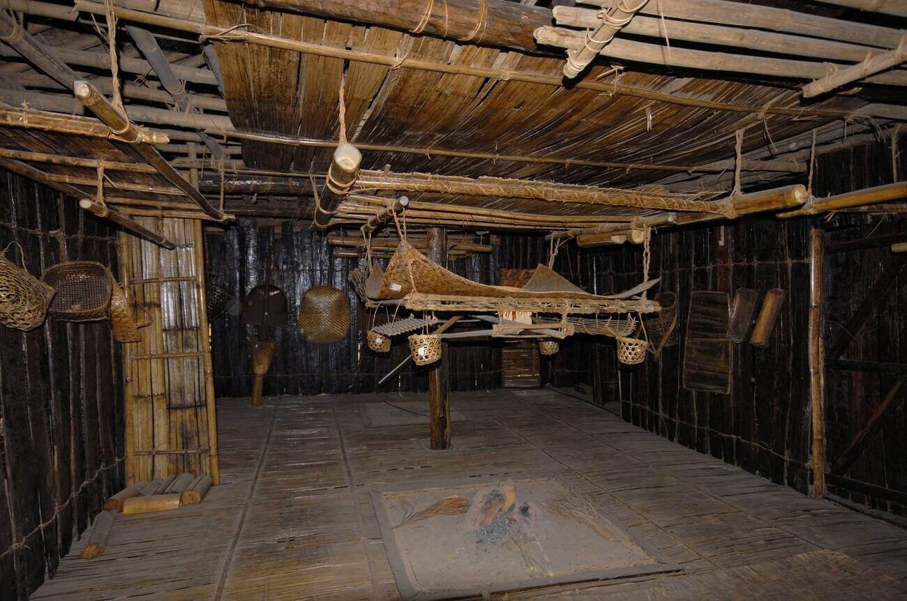
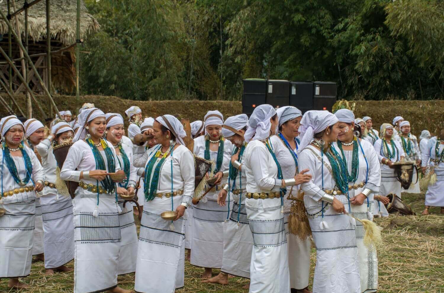
The predominant ethnic group of Lower Siang district is the Galo tribe, renowned for their vibrant culture, unique traditions, and communal harmony. The Galos have preserved their age-old customs through festivals, traditional rituals, and distinctive social practices. "Mopin" is the major festival celebrated annually on April 5, marking the beginning of the agricultural cycle. During Mopin, traditional songs, dances, and offerings are performed to invoke the blessings of nature and ancestral spirits for prosperity, good harvests, and community well-being.
River Systems
The mighty Siang River, known downstream as the Brahmaputra, flows through the district, profoundly influencing local agriculture, economy, and culture. Numerous tributaries and smaller rivers crisscross the district, providing water for irrigation, drinking, and supporting the livelihoods of thousands. The rivers are integral to local life, serving both as natural resources and as important cultural symbols around which community life revolves.
Lower Siang district’s strategic location, cultural diversity, ecological richness, and administrative significance position it uniquely within Arunachal Pradesh, paving the way for sustainable growth and holistic regional development.
Flora and Fauna
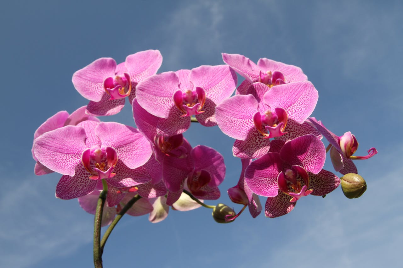
Lower Siang district, part of Arunachal Pradesh’s biodiversity hotspot, hosts rich flora and fauna. The region's forests range from tropical evergreen in lower elevations to subtropical and temperate varieties at higher altitudes, harboring numerous medicinal plants, orchids, rhododendrons, and diverse timber species. Wildlife includes a variety of mammals, birds, reptiles, and butterflies, reflecting the ecological richness of the Eastern Himalayan biodiversity zone.Protected areas like the Mehao Wildlife Sanctuary, spanning 281.5 square kilometers, play a crucial role in conserving this biodiversity.
Population and Administration:
According to the 2011 Census, Lower Siang has a total population of approximately 22,630 people. The district administration is divided into several circles and administrative divisions, including Likabali, Nari, Gensi, and others, ensuring efficient governance and development at the grassroots level. Likabali town serves as the administrative center, hosting key governmental offices and public facilities.
Lower Siang district’s strategic location, cultural diversity, ecological richness, and administrative significance position it uniquely within Arunachal Pradesh, paving the way for sustainable growth and holistic regional development.
Climate:
Lower Siang District experiences a humid subtropical climate, marked by distinct seasonal variations influenced by its diverse topography. Summers, spanning from May to October, are typically warm and humid, with average high temperatures ranging between 29°C to 31°C. In the cooler months, from December to February, temperatures are milder, with average highs around 20.5°C and lows near 8.8°C.
The district receives substantial annual rainfall, averaging approximately 3,094 mm. The monsoon season, extending from June to September, contributes the majority of this precipitation, significantly impacting agricultural activities and water resource management. These seasonal rainfall patterns are crucial for the cultivation of crops such as rice, maize, and millet, which form the backbone of the local agrarian economy. Climate variability studies in the neighboring East Siang District have indicated a decreasing trend in annual rainfall over recent decades. While specific long-term climate data for Lower Siang is limited, it is prudent for local authorities and communities to monitor these patterns closely. Understanding and adapting to potential shifts in temperature and precipitation is essential for sustaining agriculture, preserving biodiversity, and ensuring the overall well-being of the district’s inhabitants.